


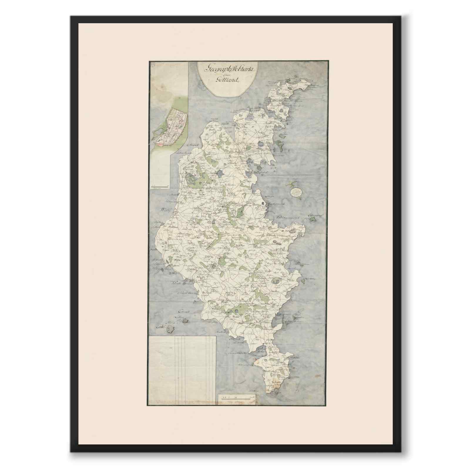





Geographical Charter over Gottland
From the archive
4.9 average from thousands of reviews
1–3 day delivery time
Free shipping
The story behind the motif
Poster with a beautiful geographical map of Gotland during the 18th century. The map also contains a plan of Visby.
During the beginning of the 18th century, the number of homes in Visby doubled and the cliffs were expanded. In 1785, Visby had more than 5,000 inhabitants and was thus Sweden's fifth largest city. Trade, shipping and industry developed and an artillery battalion with 400 employees was placed in Visby.
Illustrator: Unknown | Created: 18th century.
Frame not included.
Please note that the images are cropped slightly differently depending on the size you choose. Read more about image and image quality here: FAQ .
Complete the look:

Exclusive paper
Our posters are printed on 230 gsm matte museum-quality paper. The paper has a soft surface with a subtle texture and a warm tone that gives the motifs remarkable depth and rich color reproduction.